
Discover Excellence with Acorn Surveyors
Land & Engineering Survey Experts
Request A Quote Contact Us


Acorn Survey is a limited company registered in Kenya. The firm offers services in Land and Engineering Survey, Topographical Surveys and Mapping, Physical Planning, Environmental Impact Assessment and Audits. The firm was first registered in 2010 and incorporated as a company in 2012.
Our team of professionals ensures accurate, reliable results for all your surveying needs.
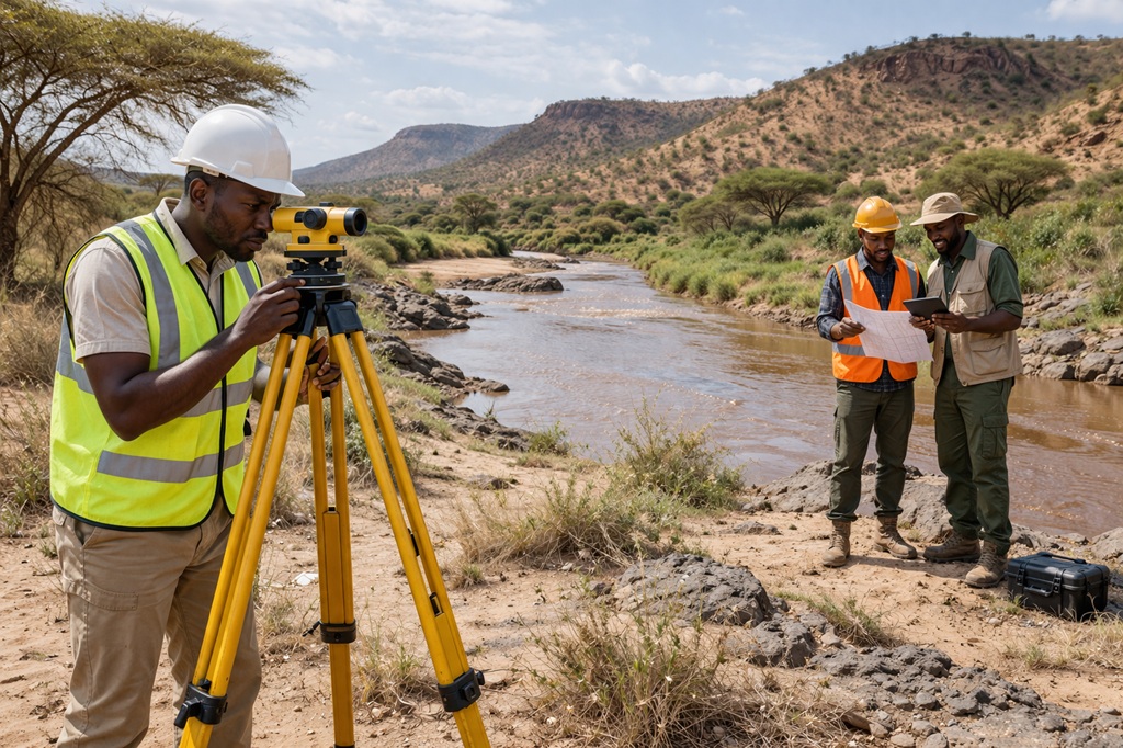
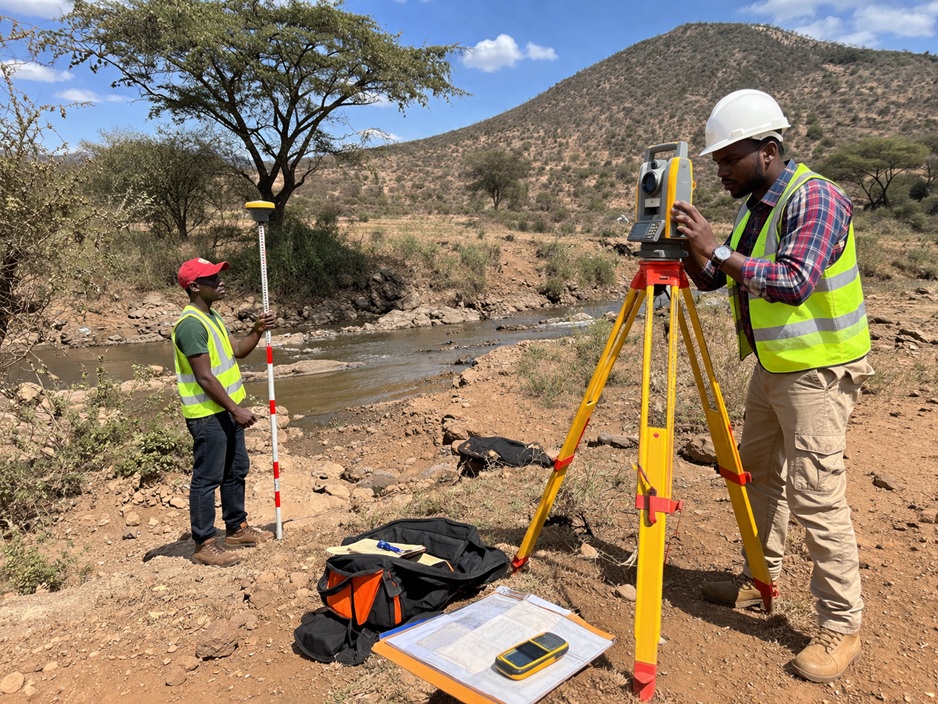
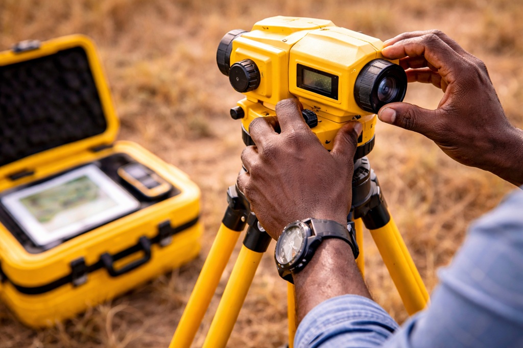
From land and engineering surveys to GIS mapping and environmental assessments, we cover every aspect of your project.

We work closely with you to understand your goals and deliver tailored solutions.
Our focus on environmental impact assessments promotes responsible, sustainable development.
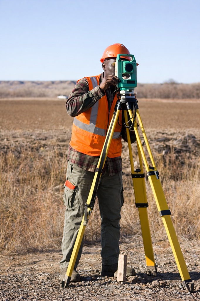
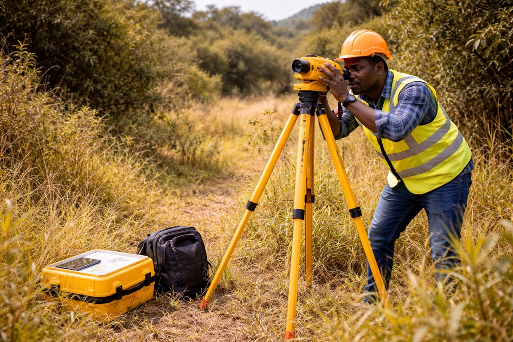
Accurate measurements and assessments for land development and engineering projects.
We offer services in Geographic Information Systems for spatial data analysis and visualization.
Creating detailed maps for planning and decision-making purposes.
Strategic land use planning to ensure sustainable development.
Evaluating potential environmental effects of projects and ensuring compliance with regulations.
Contact us for more information about our expert survey services.


Ready for Your Next Project? Get Your Personalized Quote! Simply enter your details, choose a service, and tell us a bit about your needs.
Rest assured, your information is safe with us, protected under our strict Privacy Policy.


BSc. Geomatic Engineering and Geospatial Information Systems
Diploma in Land Surveying (KISM)
Engineering, Topographical, Cadastral Surveys and GIS
Over 15 years of experience in both private and public sector surveying. Worked as an Engineering Surveyor at the newly constructed Hamad International Airport, Doha, Qatar, and as a Surveyor for the Government of South Sudan, Ministry of Physical Infrastructure.
AutoCAD Civil 3D, Liscad, QGIS and other survey mapping tools.
Registered with the Institution of Surveyors of Kenya (ISK) and Land Surveyors Board (LSB), Kenya.
Diploma in Land Surveying (KISM)
Certificate in Human Resource Management and GIS (RCMRD)
Land Surveying, GPS Surveys and GIS
Over 14 years of surveying experience, including work as a Land Surveyor in the Government of South Sudan, Ministry of Physical Infrastructure.
Experienced in GPS surveys, GIS, and a wide range of surveying software tools.
Bachelor of Technology in Land Surveying
Diploma in Land Surveying and Mapping
Land and Engineering Survey
More than 15 years of experience in both land and engineering survey with strong technical and field delivery capability.
AutoCAD Land Development, Liscad, ArcGIS 10.8, QGIS, AutoCAD Civil 3D and other survey mapping tools.
BSc. Geomatic Engineering & GIS
Land and Engineering Survey
Over 3 years of field experience in land and engineering survey, supporting mapping and technical survey delivery.
ArcGIS 10.8, QGIS, AutoCAD Civil 3D and related land survey mapping tools.
© www.acornsurvey.com. All Rights Reserved.